Can You Fly a Drone in Destin? A Pilot's Airspace Guide for Property Shoots
Yes. But a zero-foot airspace grid, an Air Force corridor that starts at the sand and a county line all shape how a Destin property shoot gets planned.
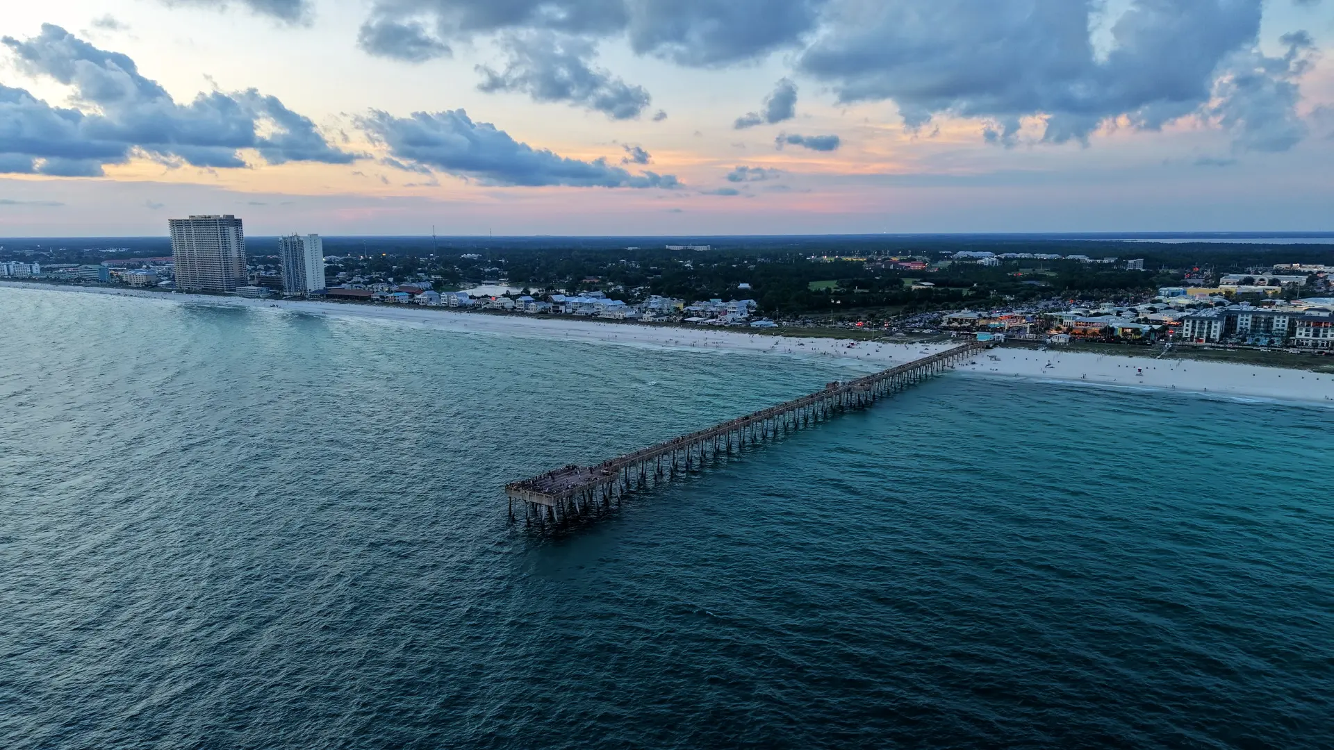
Photo: the Panama City Beach pier at sunset, an hour east of Destin.
Short answer: yes, a drone can legally fly in Destin. The longer answer is that almost the whole city, from Holiday Isle and HarborWalk east past Henderson Beach to the county line (and Seascape just past it), falls inside Destin Executive Airport's controlled airspace, and the entire shoreline runs through an Air Force corridor that starts at the sand. None of that rules out a shoot. It just means the paperwork starts the day you book, not the morning of the shoot.
I'm Jandy, an FAA Part 107 certified pilot based in Grand Ridge. I'm fully insured, and if your HOA or building manager wants a certificate of insurance (COI), just ask and I'll send one. I wrote this for the people who actually book these jobs: rental hosts, listing agents, builders and hotel marketing teams lining up a fall or winter refresh. If you're planning drone photography in Destin, this is what I check before I quote the job, using the FAA's maps for the September 3, 2026 chart cycle. It's a pilot's read of the rules, not legal advice, and I re-check every job because charts change.
No city permit: Destin defers to the FAA
No, you don't need a City of Destin drone permit. The City's own drone FAQ says it follows FAA regulations and guidelines and sends pilots to FAA resources, and it lists no permit of its own. That lines up with state law: under Fla. Stat. 330.41, cities and counties generally can't pass their own ordinances on how drones are operated. The City's FAQ also contradicts a lot of what you'll find online, which says Destin bans drones on crowded beaches or makes you pull a city permit. Walton County's beach code still has a takeoff-and-landing rule, though, and that matters once you cross the county line. More on that below.
One distinction worth knowing: your guest flying a drone off the balcony for fun and the pilot you hire for a listing or a hotel campaign follow different FAA rules. A flight that furthers a business, your rental listing included, has to be flown under Part 107. That's the rulebook this guide covers.
Destin Executive's zero-foot map
Destin Executive Airport (KDTS) sits about a mile east of downtown, and its tower runs Class D airspace over most of the city. On the FAA's UAS Facility Map, every grid square around the airport shows a ceiling of 0 feet. I point-checked the places people ask about: HarborWalk and the harbor, Crab Island, Holiday Isle and Norriego Point, Crystal Beach, Henderson Beach State Park, Destin Commons, Kelly Plantation, Regatta Bay and Seascape. Every one of them is in a 0-foot grid.
A 0-foot grid doesn't mean "no drones." It means there's no pre-approved altitude, so any Part 107 flight there needs an authorization coordinated by hand. Around most towered airports the shortcut is LAANC, the app-based system that can approve a request almost instantly. Destin Executive isn't on the FAA's list of LAANC airports, so that shortcut isn't available here. Requests go through FAADroneZone instead, where the FAA says they're processed manually, first come, first served, with no published turnaround time. If you want the background, I wrote a lesson on how controlled airspace and LAANC grids work.
The tower is open 6 a.m. to 10 p.m. When it closes, the airspace doesn't go uncontrolled: Eglin Approach provides the Class D services. So "fly after the tower closes" isn't a loophole, and the best exterior light lands inside tower hours anyway.
Eglin's footprint: Part 93, the MOA and the "R-2919B" scare
Along this shoreline, Eglin's Part 93 corridor starts at the surface, so a Destin or Miramar Beach property shoot needs an authorization even where the Class D doesn't reach. Eglin Air Force Base is about six nautical miles northwest of the airport, and most guides skip it entirely. Federal rule 14 CFR 93.81 sets up the Valparaiso Terminal Area. Its East-West Corridor runs from the surface along the shoreline out to 3 nautical miles offshore, from the Navarre area through Fort Walton Beach, Destin and Miramar Beach and on east to the edge of Panama City Beach; in the Destin section it reaches inland to the bay. Inside it, 14 CFR 93.83 says aircraft need two-way radio contact with air traffic control unless ATC authorizes otherwise. A drone pilot isn't on the radio with Eglin, so the way in is an authorization filed ahead of time. That includes central Miramar Beach and Sandestin, which sit outside the Destin Class D.
Eglin's 96th Test Wing published sUAS guidelines that give civil drone pilots a request form for Part 93 airspace, sent to Eglin Airspace Management, and say proposed operations can be denied if they're judged unsafe. That memo's file is labeled July 2017, and it still lives on the Okaloosa County airports website. It's Eglin's published guidance, so it's where I start, and confirming it's still current is part of my pre-quote check on any job where Part 93 applies. I don't take a PDF that old on faith.
Now the scare. Drone apps and forum threads flag "R-2919B" over Miramar Beach, Sandestin and 30A as restricted airspace. Over those areas its floor is 8,500 feet MSL, far above anything flown under Part 107's 400-foot limit. The Eglin E MOA over Destin does start at the surface, but a MOA is a heads-up about military traffic, not an authorization requirement. The limits that actually apply to a property shoot are the Class D and Part 93.
One more Eglin item: the same memo warns that photographing or recording certain areas of the base can violate federal law (18 U.S.C. 795–796). On a property shoot the camera points at your property and the Gulf, never at base facilities.
Beaches, state parks and the Okaloosa–Walton line
State parks. Henderson Beach State Park and Topsail Hill Preserve State Park are both off-limits as launch sites. Florida's state park rule, FAC 62D-2.014, prohibits taking off or landing aircraft or "other aerial apparatus" in a park, and Florida State Parks applies it to drones. Henderson Beach gets it twice: it's a state park, and it's under Destin Executive's Class D with no pre-approved altitude.
The county line. Miramar Beach is unincorporated Walton County, not the City of Destin, even though plenty of rentals there are marketed as Destin. Walton's beach code, Sec. 22-58 as rewritten in 2024, bars aircraft and "other aerial apparatus" from taking off or landing on the beaches unless the County authorizes it. Older guides still mention a "TDC drone permit," which was 2019 wording that has since been replaced. The current text doesn't name drones the way the old one did, and I don't treat that as permission. In Walton the plan is to launch from the client's private property, or to get County authorization before any beach launch. The Destin Class D grid ends about a mile past the county line, so western Miramar Beach is still a 0-foot grid; farther east it isn't, but Part 93 still applies. If your property is out that way, my 30A and Santa Rosa Beach page covers that side.
West of East Pass. Okaloosa Island sits under Hurlburt Field's Class D: same story there, a zero ceiling and no LAANC.
What actually shapes a Destin property shoot
Once the airspace is sorted, the day-of limits are the ones you'd expect on a busy coast. Part 107 keeps the drone off the top of anyone who isn't part of the shoot. There are narrow exceptions, like people under a roof or inside a parked car, but on an open beach none of them help. A shoulder-season weekend can still put plenty of people on the sand, so I plan routes over the water, the roofline and the property itself, and I schedule early when the beach is quiet.
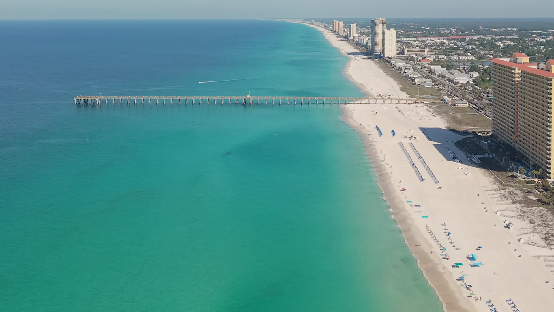
The airport's own remarks warn of parasailing and banner towing within 5 nautical miles. Those are low, slow manned traffic working the beach, a drone yields to all of it, and I watch for them the whole flight.
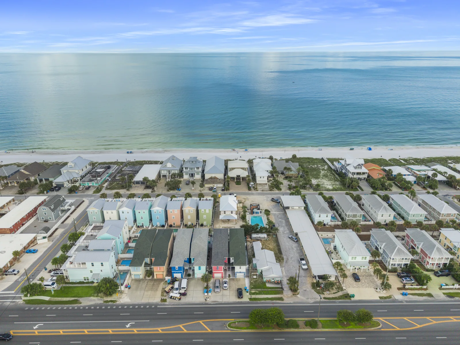
Launching from the property works best. For a condo that means roof or deck access and the HOA or building manager's OK, in writing if they'll give it. That's usually where the COI request comes from, so ask me for one early. Neighbors matter too: Florida's drone law, Fla. Stat. 934.50, protects people's reasonable expectation of privacy on private property, and it has no blanket exception for real estate or photography. My framing stays on the client's property and the view, not on the pool deck next door.
Twilight exteriors have their own rules. Flying during civil twilight or at night requires anti-collision lighting visible for at least 3 statute miles, and flying after civil twilight ends also requires the pilot to have completed the updated night-operations knowledge test or training. In October, Destin's sunset slides from 6:32 p.m. on the 1st to 6:00 p.m. on the 31st, with civil twilight ending roughly 23 minutes later. After clocks fall back on November 1, sunset lands near 5 p.m. That whole window sits inside tower hours. My drone broadcasts Remote ID the whole flight, which the FAA requires on any registered drone, so there's no mystery about who's flying over the property.
What to send your pilot before a Destin shoot
The faster I get these, the sooner an authorization request goes in: the address or parcel number, a date window with a backup day, whether you want twilight, roof or building access contacts, whether you want interior footage, how many people will be on site, and whether your HOA or management company needs to be named on a COI. Interiors are a separate question from the airspace. The FAA doesn't regulate flight inside a building, which is why indoor drone fly-throughs of a condo aren't a Class D issue. The moment the drone flies out the slider onto the balcony, it is. If you're comparing pilots, here's how to hire a drone pilot in the Florida Panhandle, including how to verify a Part 107 certificate yourself.
How I plan Destin and Miramar Beach jobs
Here's the order I work in. The address goes on the FAA facility map and the county map first: Class D or not, Okaloosa or Walton, state park next door or not. If the map shows a zero ceiling, the FAADroneZone request goes in as soon as we settle a date window, because the FAA works those in the order they arrive and I want ours near the front of the line. If Part 93 applies, I follow Eglin's published request process. Then I pick a launch point on the property. And if the timeline is tight, I'll tell you straight. I won't promise an approval date I don't control.
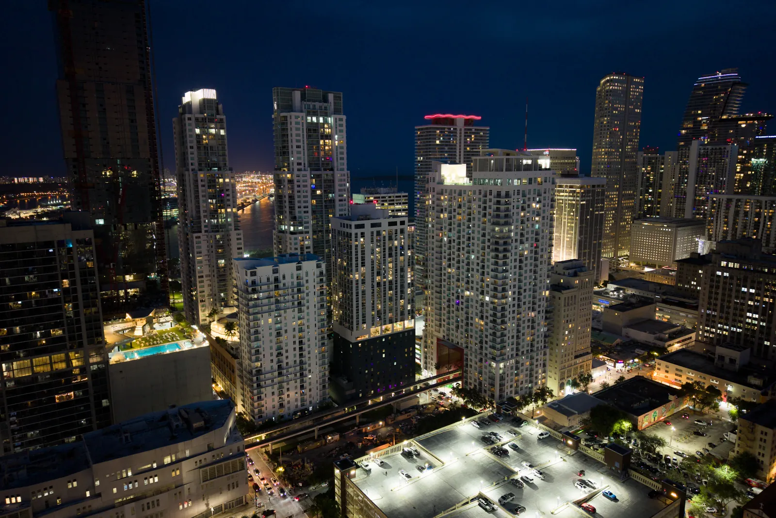
The closest finished work I can show you is an hour east: Gulf-front aerials and a Panama City Beach vacation-rental shoot, the same kind of vacation rental photography and video a Destin host would book. If you run a hotel, the YOTEL Miami job above is the closest match, and my hotel and resort video in Destin page walks through how I'd approach yours. Travel to Destin is already in the quote, not a separate line, and turnaround is fast.
Questions people ask about flying in Destin
No. The City of Destin says it follows FAA regulations and points pilots to FAA resources. It doesn't issue its own drone permit. What most of the city does require is FAA authorization: Destin Executive's Class D grid is 0 feet and the airport isn't on the FAA's LAANC list, so a Part 107 request goes through FAADroneZone and is processed by hand.
Not from inside it. Florida's state park rule (FAC 62D-2.014) prohibits launching or landing aircraft and other aerial apparatus in a park, and Florida State Parks applies it to drones. The park also sits inside Destin Executive's 0-foot Class D grid, so a shoot at a property next to it starts from a legal launch point outside the park, with FAA authorization for the airspace.
Miramar Beach is Walton County, not the City of Destin. Walton's beach code bars aircraft and other aerial apparatus from taking off or landing on the beach without County authorization, so the plan is a launch from private property or the County's OK first. Western Miramar Beach is still inside Destin Executive's 0-foot grid, and the whole shoreline sits in Eglin's Part 93 corridor, so FAA and Eglin authorization still come into it.
It isn't a no-fly zone, but it isn't a casual flight either. Crab Island sits inside Destin Executive's 0-foot Class D grid and Eglin's Part 93 corridor, so any Part 107 flight there needs authorization filed ahead of time. It's also one of the most crowded spots on the water on a summer weekend, which runs straight into the rule against flying over people.
If you've got a rental, a listing or a hotel in Destin or Miramar Beach that's due for new photos or video, send me the address and your date window. I'll check the airspace before I quote, and the quote is free. Send it here or call or text (305) 316-0794.