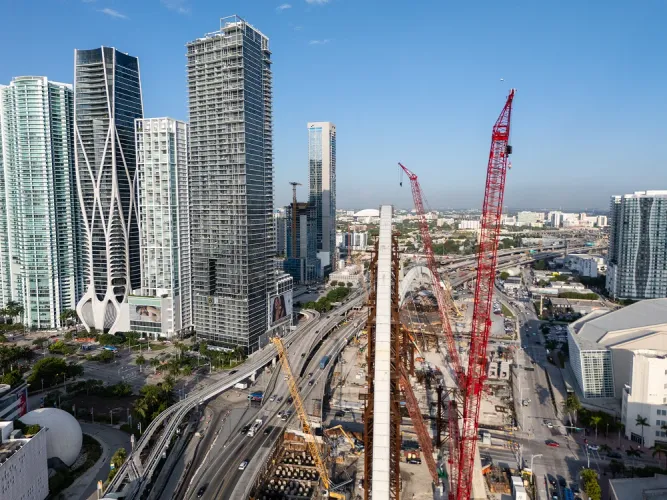
Construction Drone Progress Video & Aerial Jobsite Media
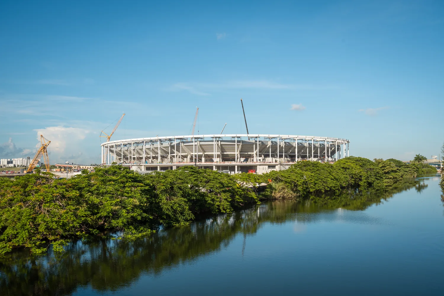
The owner is three states away and wants to see the site, not hear about it. Construction drone progress video gives Panhandle builders a dated aerial record of every project — the same angles, flown visit after visit, from land clearing to final walkthrough. Insured, based in Grand Ridge, and we come to you.
The jobsite witness
Every active project has an audience that never sets foot on it. An owner out of state. A lender releasing draws. A marketing page that needs proof of work, not a rendering. When a question surfaces about what was done and when, a dated record answers faster than memory. Construction drone progress video turns your jobsite into a documented timeline, built visit by visit from the air.
Same angles, dated visits, one clean timeline
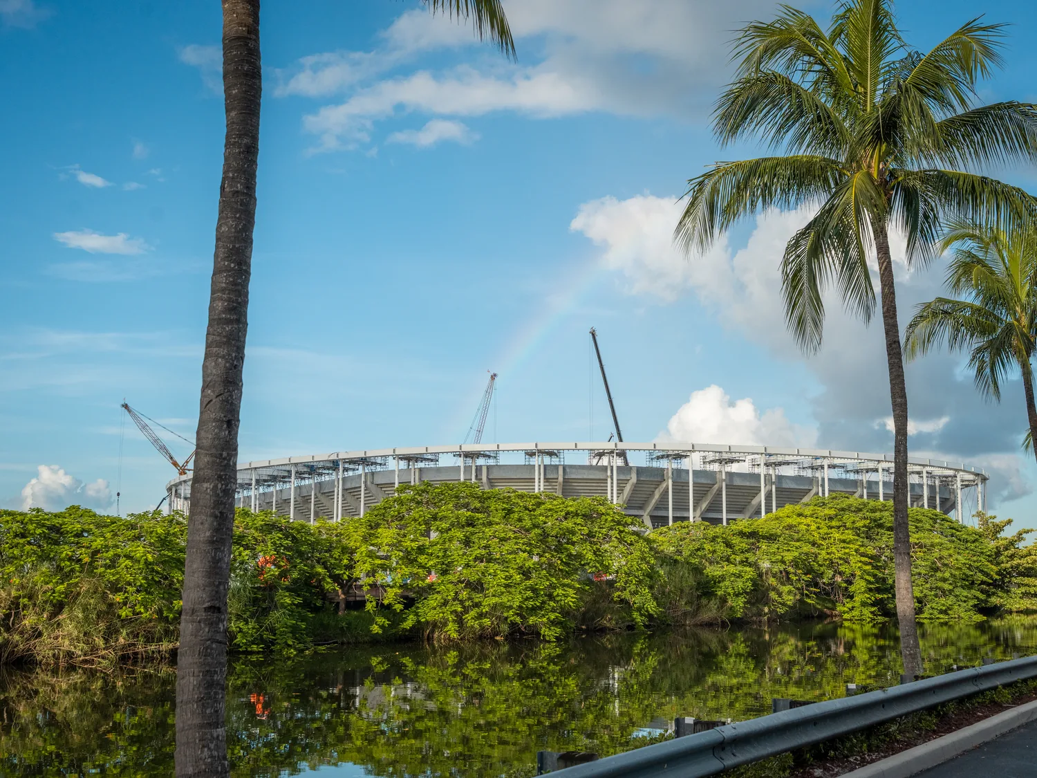
The method is disciplined on purpose. On the first flight we lock in a set of aerial positions — corners, elevations, one wide overview — and every return visit repeats them, monthly or by milestone. Files come back dated, so January sits beside June and the structure rises frame by frame. Anyone can sell you one drone photo. The repeatable record is the product.
Marketing content contractors actually use
Progress media does double duty. The same flights that document the build feed your marketing: before-and-after pairs, vertical reels cut for social, and hero aerials for the website and proposal deck. Our video production handles the edit, so what lands in your inbox is ready to post — fast turnaround included. For a closer look at how this plays out on real job sites, read our guide to construction drone progress video across the Florida Panhandle.
Land clearing & site prep, from above
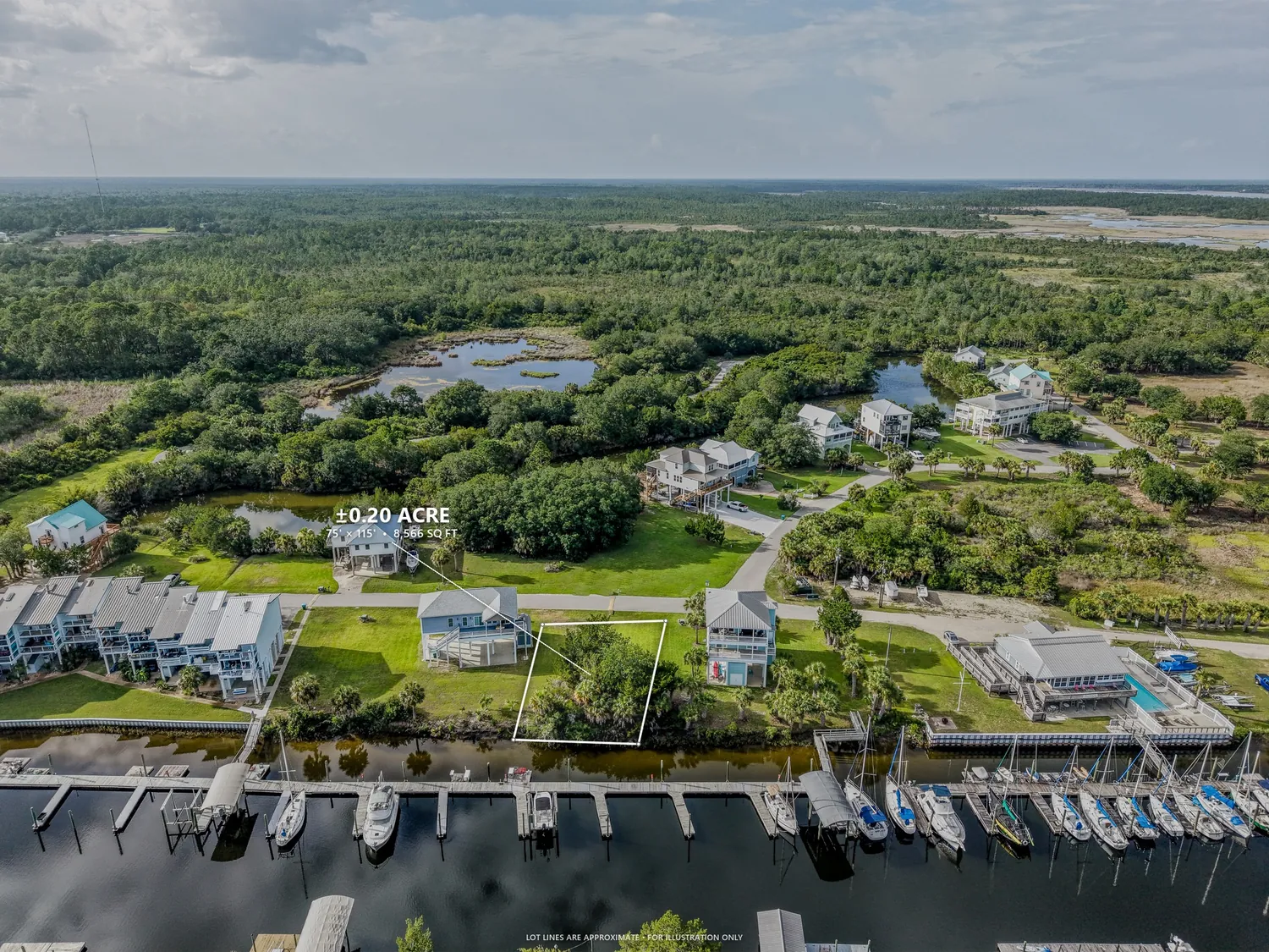
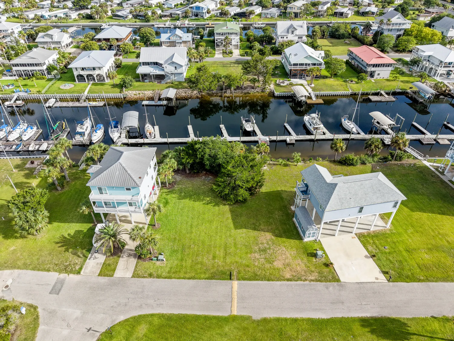
The most dramatic change on any site happens before the first wall goes up. Aerial coverage of clearing, grading, pad work, and utilities shows progress that's invisible from the road — and for developers, a clean overhead of a prepped parcel is the image that moves lots. Start the record before the dirt moves. You only get one "before."
The rebuild coast
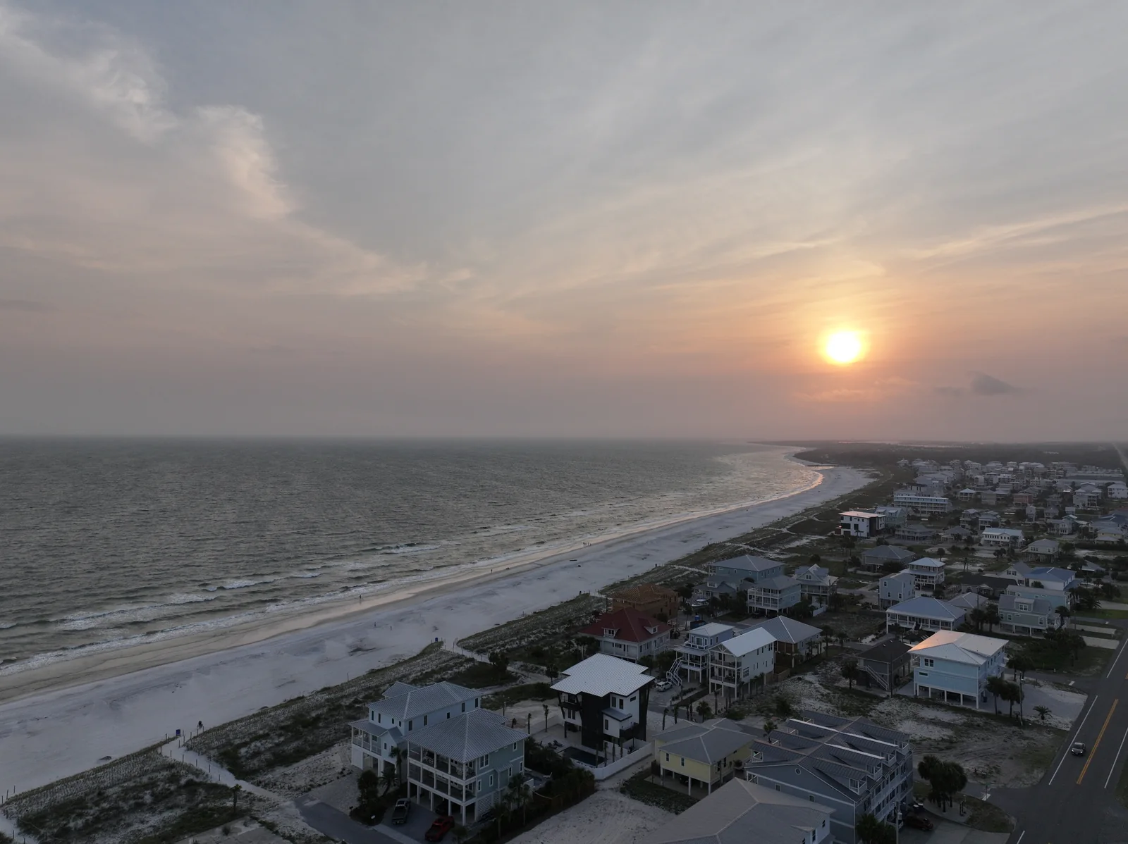
This stretch of the Panhandle has been one long construction zone since Hurricane Michael came ashore in 2018. From Mexico Beach through Port St. Joe and Cape San Blas and up into Panama City, rebuild work is everywhere — homes, commercial, infrastructure. Many projects here have owners and investors watching from out of town; recurring aerial documentation keeps everyone aligned. We cover the whole coastal corridor from Grand Ridge — we come to you.
Reporting owners, lenders & investors can act on
Every visit ends with share-ready deliverables: an organized photo set and short clips, dated and labeled, sized for a progress email, a draw package, or an investor update. This is photo and video media — a visual record, not a survey or an inspection report. Pair it with drone and aerial photography stills for print and proposals.
Roofing companies: bid shots & proof of work
Roofers run on proof. An aerial shot gives your estimator a clear look for the bid, and a matching "after" becomes portfolio and review-page material. These are marketing and documentation images, not inspections — we photograph roofs, we don't assess them.
FPV fly-throughs of the finished build
When the build is done, sell it. An FPV drone fly-through moves through the finished space in one continuous take — in the front door, down the hall, out over the roofline. It's the centerpiece of your next pitch.
Get a Free Quote for a one-time shoot or a full progress program.
Built for the jobsite
Progress Flights
Recurring visits on a monthly or milestone schedule — same angles, dated files, one clean timeline from clearing to close-out.
Drone & AerialContractor Marketing
Before-and-after edits, social reels, and hero aerials from your own jobsites — proof that wins the next bid.
Video ProductionFPV Fly-Throughs
One continuous flying shot through the finished build — the showpiece clip for your portfolio and proposal deck.
FPV DroneThe rebuild corridor
Match the schedule to how the project moves. Monthly visits fit long builds; milestone visits — clearing, pad, slab, dry-in, finish — fit projects where visible change matters more than the calendar. Either way, we repeat the same angles and date every file, so the sequence cuts together as one clean timeline.
Yes — with the airspace handled properly. Every site visit is flown by an FAA-certified drone pilot (Part 107), and the business is fully insured, with a COI available on request. Parts of this coast sit near controlled and military airspace around Tyndall AFB, so we plan each flight in advance and secure FAA authorization where required.
That's a main reason builders hire us. Every visit produces share-ready photo sets and short clips, organized by date, that drop straight into a progress email, a draw package, or an investor update. To be clear on scope: we deliver photo and video media — not surveys, engineering data, or inspection reports.
No — we're a media company. For roofing companies we shoot aerial roof photos and video for bids, portfolios, and completed-job proof. For builders we document sites from the air. We don't perform inspections, mapping, or surveying — you get professional photo and video, flown legally and ready to use.
Every job is scoped per project — a single shoot is a different engagement than a year of monthly flights across three sites. Scope depends on visit frequency, site count, and the deliverables you need from each flight. Tell us what you're building and how often you want eyes on it, and we'll send a free quote.
Site & progress work, shot by us
Put eyes on the site.
Get a Free Quote★ 5.0 on Google · 32 reviews · FAA Part 107 · Insured