Tallahassee
real estate drone video
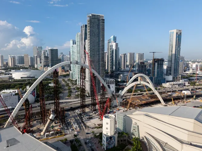
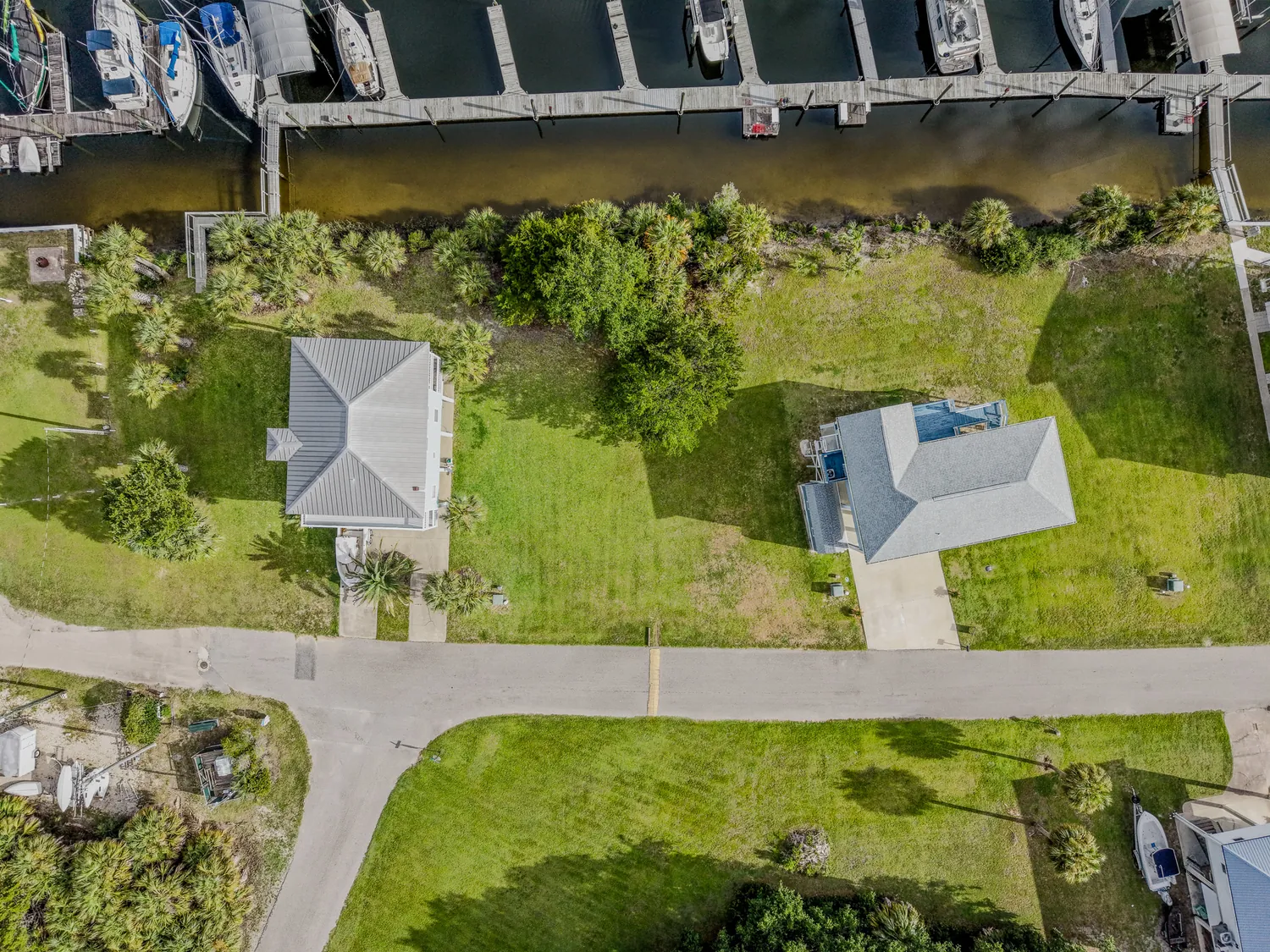
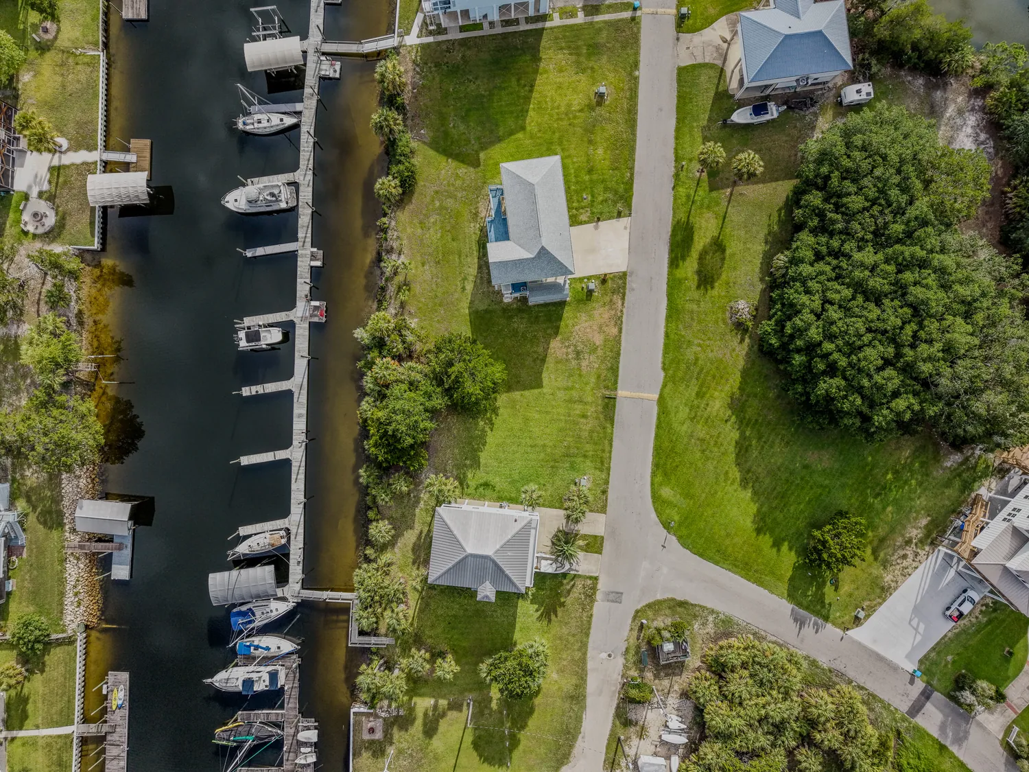
Tallahassee listings compete under a tree canopy that hides much of what makes a property worth its price. We put a camera above it — real estate drone video and aerial photography that shows the lot lines, the corner position, and the street a buyer is actually moving to.
JandyLucho Marketing and Media is an aerial-first operation run by an FAA Part 107 certified pilot, fully insured, with real estate as a core service. We shoot drone video, aerial photos, and interiors in one visit, deliver MLS-ready files, and on most listing shoots the full set is in your inbox the next day. Travel to Leon County is always included in the quote — no mileage line, ever.
Here’s a recent one — an FPV drone fly-through we shot through a new-construction community here in Tallahassee:
What a Drone Shows That Ground Photos Can't
A ground photo can make a kitchen look good. It cannot show that the lot runs all the way to the tree line, that the house sits on the high corner of the street, or that the neighborhood park is two blocks over. Aerials prove the things a listing description can only assert: the actual shape of the lot, the buffer between the house and its neighbors, the pool in context of the whole backyard, and what surrounds the property in every direction. For buyers relocating to Tallahassee and shopping from a screen, that context is the difference between a showing request and a scroll-past.
It also protects the agent. When the aerial shows the easement or the nearby road honestly, the buyers who book showings are the ones who will actually write offers. We break down how agents put this footage to work in our guide to drone video for real estate marketing.
Canopy Roads, Hills, and Why Aerials Work Here
Tallahassee is not flat Florida. Lots climb and drop, streets curve under live-oak canopy, and whole houses disappear from a car window. In Killearn Estates and Betton Hills, the tree cover that makes a street beautiful is exactly what hides the property — an aerial is often the only way to show the roofline, the lot, and the canopy in one frame. In SouthWood and the Buck Lake area, drone photos show how a home sits relative to trails, ponds, and green space. Around Lake Jackson, elevation and water carry the whole value story, and Midtown listings sell on a different aerial angle entirely: how close the house actually is to offices, restaurants, and the canopy roads commuters use every day.
This page covers our listing work in the capital. For everything else we shoot in the city — business video, branding, events — see our Tallahassee media services page.
One Visit, One Complete Listing Package
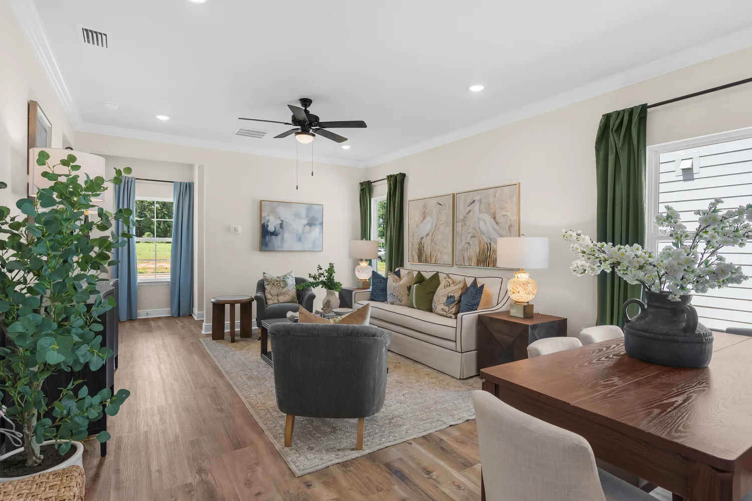
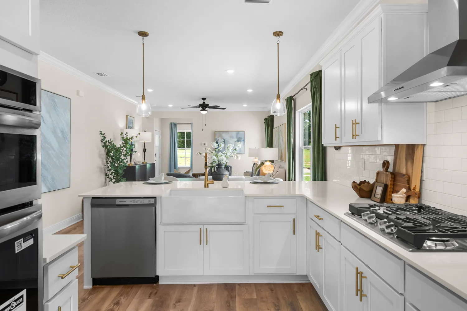
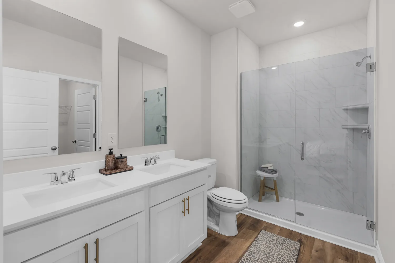
You don't need two vendors and two appointments. We bring the drone and the ground cameras to the same shoot: interior and exterior photos, walkthrough video, aerial stills, and an aerial listing video, all captured in one visit and edited to match — same color, same look, one coherent set. That matters more than it sounds. When the aerials come from one vendor and the interiors from another, the listing looks like two different houses. Our real estate photography and videography service covers the full package, with drone coverage built in rather than bolted on.
When a listing warrants it, we add an FPV fly-through — a single continuous shot from the street, through the front door, and out over the backyard. Almost no listing in this market uses the format yet, which is exactly why it gets attention.
Shot Today, Typically Listing-Ready Tomorrow
Speed is part of the product. On most listing shoots we deliver the complete edited set the next day: photos sized and formatted for MLS upload, full-resolution versions for print and flyers, and video exported for MLS, YouTube, and vertical social cuts. You list on your schedule, not your photographer's. We can hold that pace because the operation is built for it — one pilot-photographer, an editing workflow that starts the evening of the shoot, and no queue of other studios' work ahead of yours.
Twilight aerials are the one deliverable worth planning around. We shoot them in a short window just after sunset, when interior lights glow and the sky still holds color — the kind of shot that earns the cover-photo slot. For what to prep before any shoot — staging, timing, what MLS actually accepts — read our guide to real estate photography in Tallahassee.
Controlled Airspace Isn't a Dealbreaker
A ring of controlled airspace surrounds Tallahassee International Airport and covers much of the south and west side of the city. Unprepared operators treat that ring as a no-fly zone, which means listings inside it often go to market with no aerials at all. It isn't a no-fly zone — it's airspace that requires FAA authorization before launch. As an FAA Part 107 certified pilot, Jandy requests that authorization through the FAA's LAANC system as part of planning the shoot, and at typical listing altitudes most of the grid clears quickly. Where it doesn't, we know before we drive out, not standing in the driveway.
The same planning covers the county's other quirks, like temporary flight restrictions near the stadium on college football game days. Equipment, altitudes, and deliverables are covered on our drone and aerial photography service page.
Land and Acreage Toward the County Edges
Leon County turns rural fast — east past Buck Lake, north toward the Georgia line, south toward Woodville — and land listings live or die on aerial coverage. A tract of timber or pasture cannot be photographed from the ground in any way that helps a buyer. From the air, we show the full parcel in one frame, trace the tree lines and cleared areas that define it, and fly the visible edges so buyers understand shape and access before they ever call. For acreage we typically deliver high-altitude overviews, closer orbits of buildable areas or existing structures, and video that walks the property the way a buyer would.
Boundary footage follows visible features and any markers you point out — for marketing a parcel, that context does the selling. Land specialists are the best-matched fit for this service: on a land listing, the aerials aren't a nice-to-have. They are the listing.
Built for Agents and Teams Who List Steadily
This service is built for listing agents, broker teams, and land specialists who put properties up every month, not for one-off shoots. The easiest way to start is a single listing: book it, judge the set, then decide whether we become your standing photographer. For teams, the value compounds — a standing slot on the calendar, predictable scheduling around your listing pipeline, and one vendor for every property you take on.
Travel from Grand Ridge is already in the quote. Call or text (305) 316-0794, or send the listing address through our contact page — we typically come back with a quote and available dates the same day.
Ready when you are. Get a Free Quote today.
Real Estate Photo & Video
Everything a listing needs from one shoot — ground photos, walkthrough video, and aerials, edited as one set and delivered MLS-ready with fast turnaround.
See real estate packagesDrone & Aerial Photography
Aerial stills and video from an FAA Part 107 certified pilot — lot context, elevation, twilight aerials, and acreage coverage across Tallahassee and the North Florida Panhandle.
Explore drone servicesFPV Drone Video
One continuous fly-through shot — street to front door to backyard — that almost no Tallahassee listing uses yet. Watch the demo reel and see the difference.
Watch the FPV reelYes, in most cases. Much of south and west Tallahassee sits in controlled airspace, which requires FAA authorization before a flight — it is not a ban. As an FAA Part 107 certified pilot, Jandy requests authorization through the FAA's LAANC system while planning the shoot, and at typical listing altitudes most areas of the grid are approved quickly. If a specific address has a hard restriction, we tell you before you book, not after.
On most listing shoots we deliver the complete edited set the next day: MLS-sized photos, full-resolution versions for print and flyers, and video exported for MLS, YouTube, and vertical social. Larger projects like acreage packages or FPV fly-throughs can take an extra day or two, and we give you the timeline when you book so you can plan your go-live date around it.
No. We're based in Grand Ridge, about an hour west of Tallahassee, and travel is always built into the quote for every job in the Panhandle. The number we quote is the number you pay — there is never a separate mileage or travel line on an invoice.
That's how we prefer to work — one appointment covers ground photos, video, and all the aerial work, and everything is edited together so it reads as one set. It also means one time slot to coordinate with sellers or tenants instead of two.
Yes — acreage is some of the most aerial-dependent work there is. We shoot full-parcel overviews, tree lines and cleared areas, access points, and video along the visible edges of the property anywhere in Leon County and the surrounding counties. We're not surveyors, so boundary footage follows visible features and any markers you point out, but for marketing a parcel that context is what sells it.
Jandy is an FAA Part 107 certified pilot — the federal certification required to fly drones commercially — and the business carries drone liability insurance, with a certificate of insurance available on request. If your brokerage needs a COI on file before the shoot, ask and we'll send it over.
Tallahassee listings, shot by us
Tallahassee listing media,
MLS-ready fast.
Get a Free Quote
★ 5.0 on Google · 32 reviews · FAA Part 107 · Insured